
Pilots, water sports enthusiasts, drone- and model pilots, hikers and many other people need an up-to-date weather and an outlook on how the weather will develop in the near future.
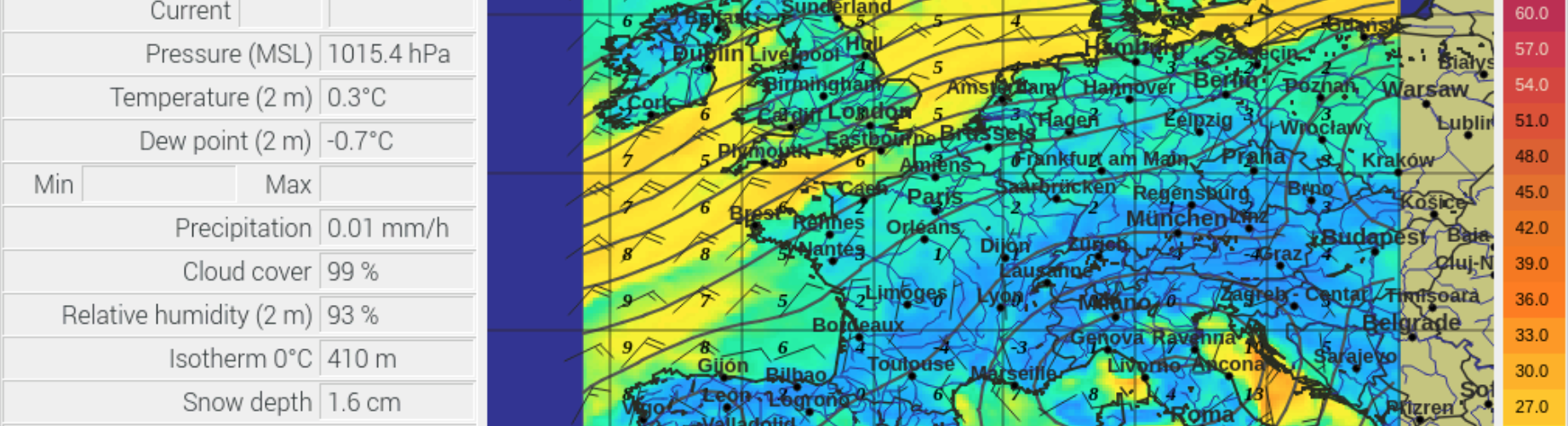
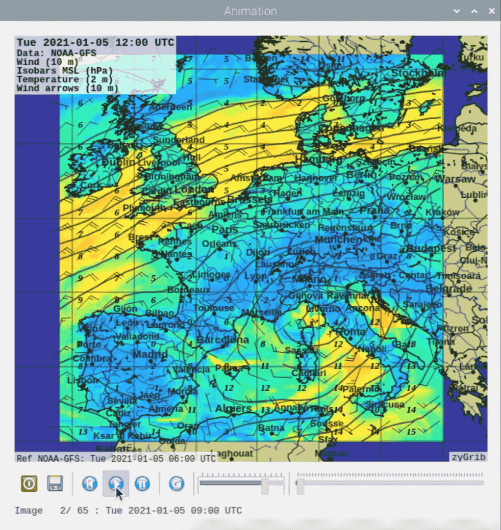
If you want to have a closer look at the weather, the weather report usually available on TV or the Internet is not sufficient. Software that can download current weather data and display it visually can help here. The desired region can be selected, as well as the quality and content of the representation up to the visualization of the weather over a certain period.
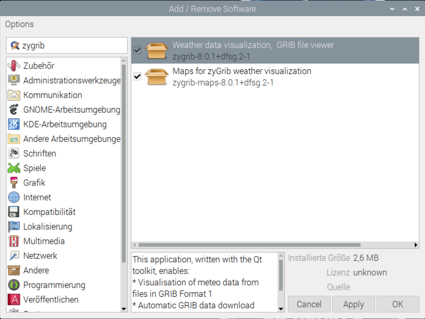
For Linux, in this article I refer to the Raspberry PI, is an excellent free software available. The installation is simple. Under Add/Remove Software, search for “zygrib” and install the program itself and the associated maps.
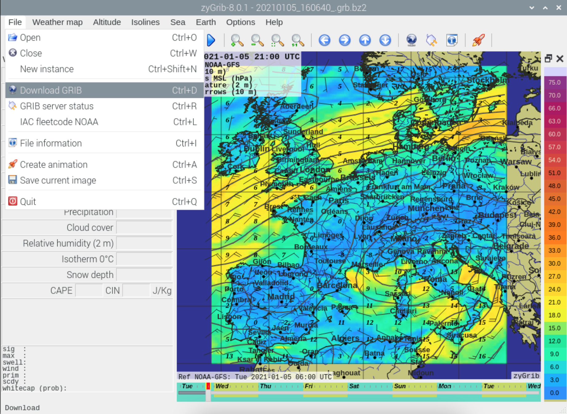
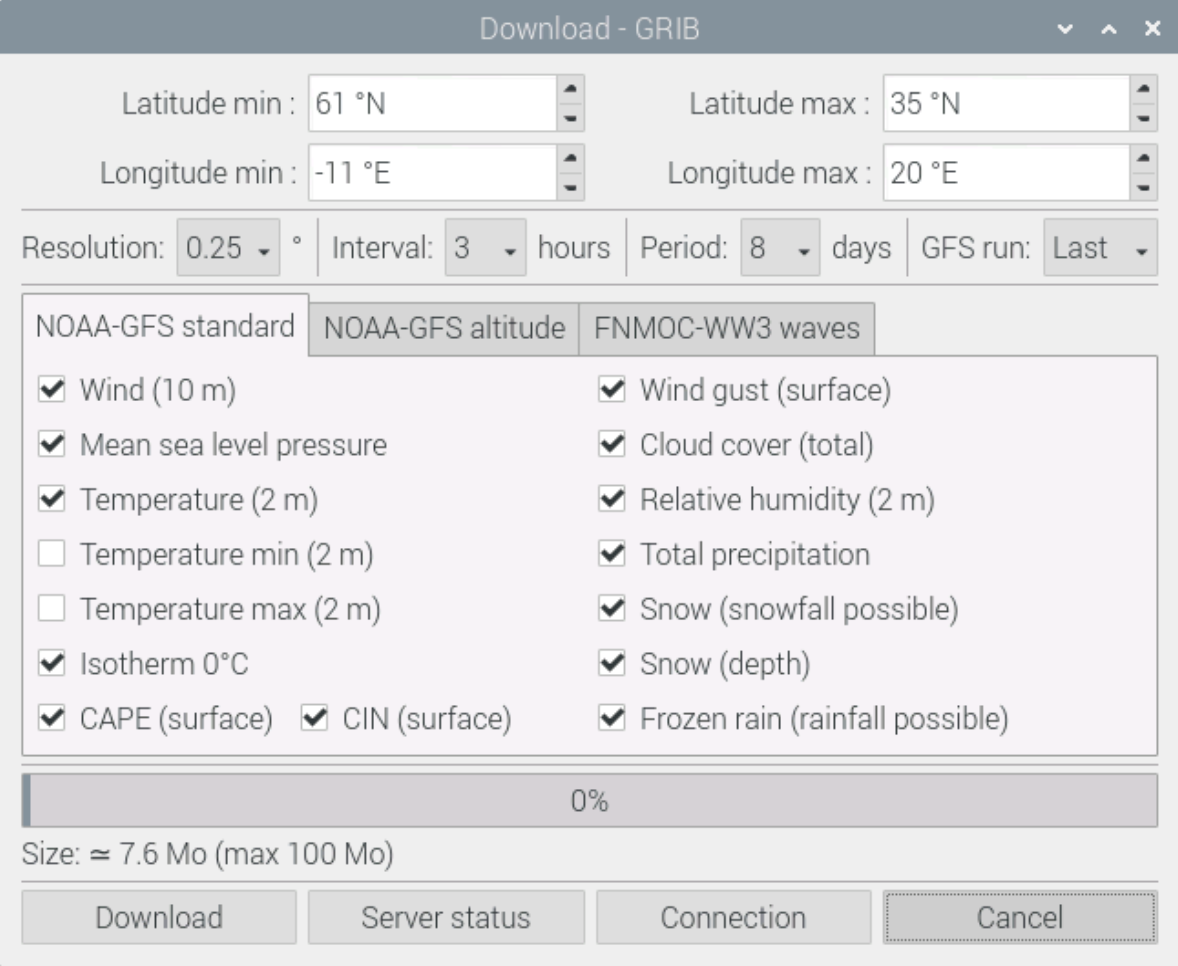
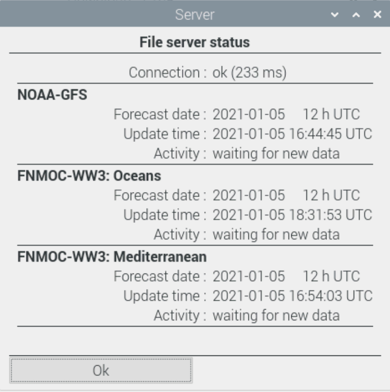
Selecting the region and downloading the weather data and displaying it is very easy. First select the desired area in the world map for which weather data should be loaded. Then in the menu, select File, Download GRIB. 3 servers are available and a selection of the desired data is possible. Then simply start the download. On the Internet there are other servers where a manual download is possible.
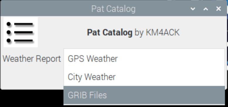
Radio amateurs can also request and download the GRIB files over the air, without an internet connection, using WINLINK E-Mail. If you use the Build a PI Script from Jason, KM4ACK, you have everything installed that is needed.
If you are interested in what other ham radio programs are available for the Raspberry PI and how to install them look here
https://dl1gkk.com/setup-raspberry-pi-for-ham-radio/
Have fun, stay healthy
73, Karl-Heinz Krawczyk, DL1GKK